
Chiapas Travel Guide:
Routes, Waterfalls, Hikes & Maya Sites
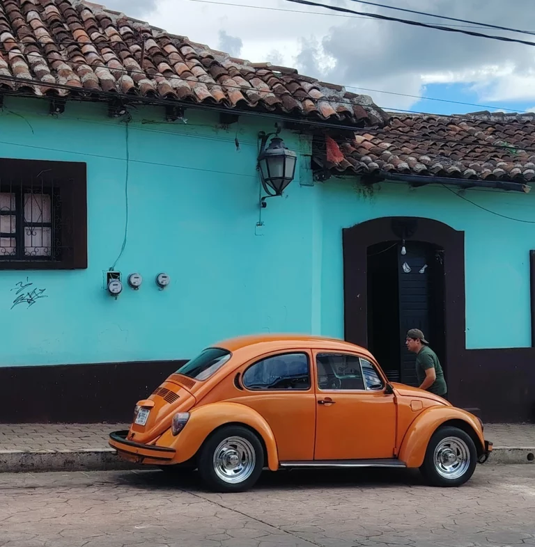
Traveling in Chiapas, Mexico
No generic tourist traps, no overpriced private shuttles, and no cookie-cutter resort itineraries. This is your raw, field-tested guide to exploring Chiapas independently—from the high mountain trails of San Cristóbal to the deep jungles of Palenque, wild river canyons, and the forgotten Pacific coast. Chiapas doesn't work like the Yucatán.
Distances are deceiving, public transportation shifts depending on the terrain, and the climate changes dramatically from the chilly highlands to the humid lowlands. Don't cross the state unnecessarily just to tick another attraction off your list. Group your destinations geographically.
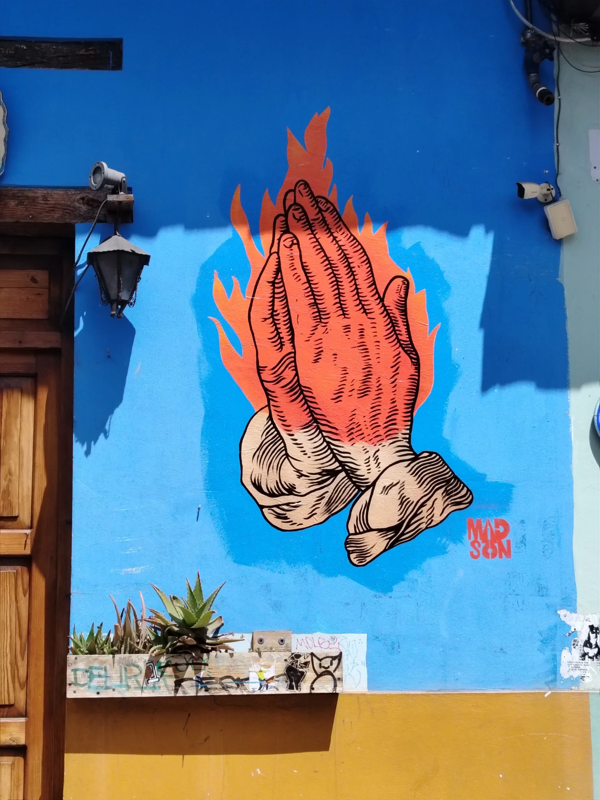
Before You Arrive: Practical Advice
Carry Enough Cash: ATMs can be scarce, finicky, or out of cash once you leave major hubs like Tuxtla Gutiérrez, San Cristóbal, or Comitán. Always withdraw a solid stash of Mexican pesos before heading deep into the jungle (Palenque/Ocosingo) or remote southern zones. Don't rely on cards.
Connectivity (Telcel): While other providers work in cities, Telcel generally offers the most stable coverage once you hit winding mountain passes and remote river valleys.
The Transport Reality: A 100-kilometer journey in Chiapas is not necessarily a short journey. Mountain roads, transfers, and waiting for colectivos can turn a seemingly simple connection into half a day.
-> Long-distance: ADO / OCC buses are your best bet for state-to-state trunk routes.Local &
->Regional: Master colectivos (shared local vans). Use city colectivos for urban hops, and regional colectivos (often departing from municipal markets) for surrounding towns and trailheads. Private tourist taxis are rarely necessary unless you're pressed for time or carrying heavy gear.
Plan Your Trip by Experience
Chiapas is too large to cover efficiently in one trip. The easiest way to plan it is to choose a region first, then build outward from there.
First Time in Chiapas
Start around San Cristóbal de las Casas for the highlands, Chamula and Zinacantán, then add Sumidero Canyon or continue north toward Palenque.
Looking for Waterfalls & Jungle
Head north toward Palenque, Ocosingo, Roberto Barrios and Agua Azul. This is the part of Chiapas where jungle, rivers and Maya sites can be combined in the same route.
Exploring the South
Base yourself around Comitán to reach El Chiflón, Montebello and the routes toward Las Nubes. This works well if you want a quieter trip away from the main San Cristóbal–Palenque corridor.
Want the Pacific Coast
Follow the route toward Tapachula and the Soconusco, then continue to the smaller coastal communities around Boca del Cielo and the surrounding estuaries.
Have More Time?
With 10–14 days, you can combine several regions, but avoid zig-zagging across the state. Group your stops geographically and treat long travel days as part of the itinerary.
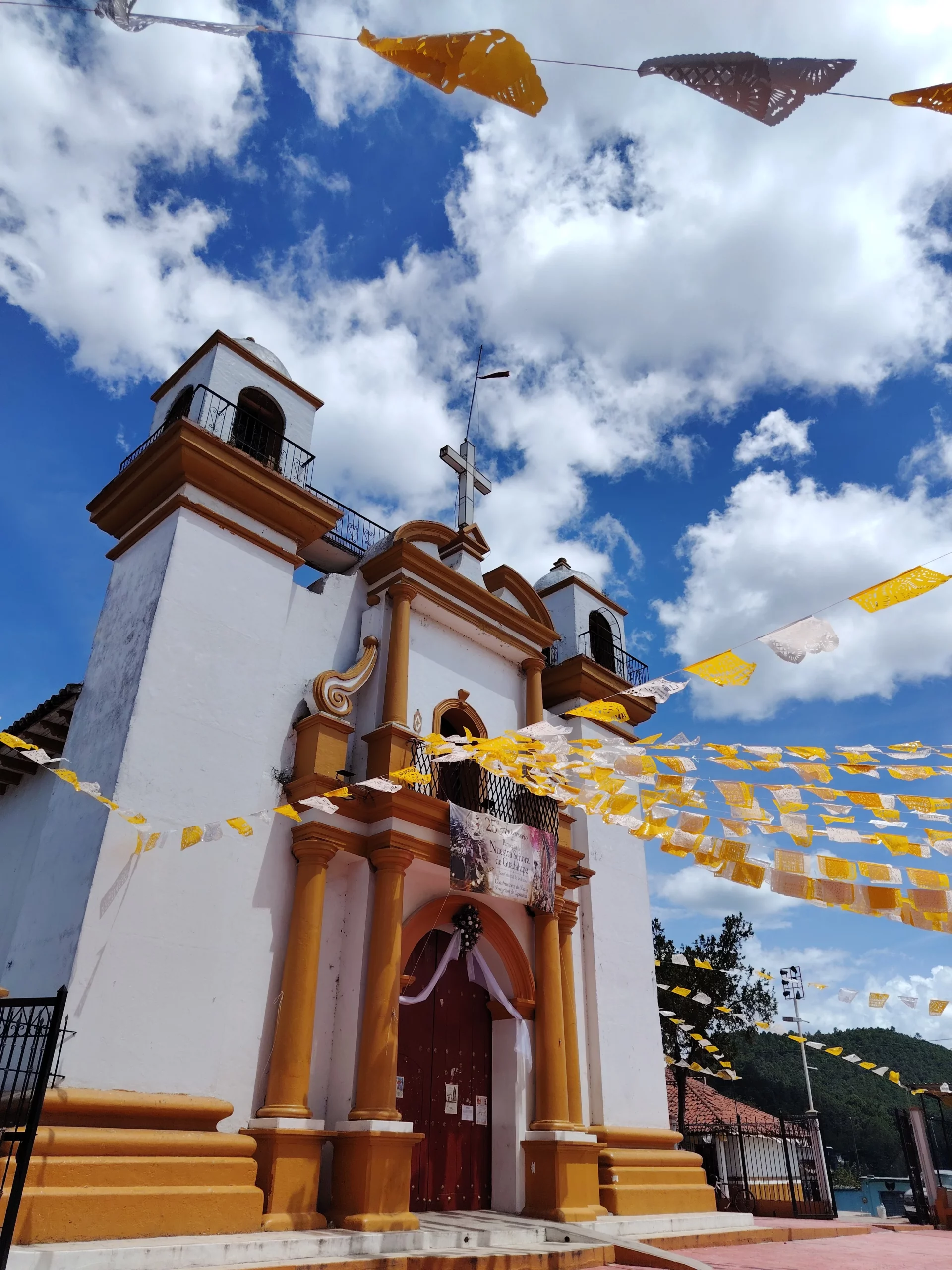
Dive Into Regional Guides
San Cristóbal Guide
The Highlands Guide
Sumidero Chiapas Guide
North Chiapas Guide
South Chiapas Guide
Chiapas Coast Guide
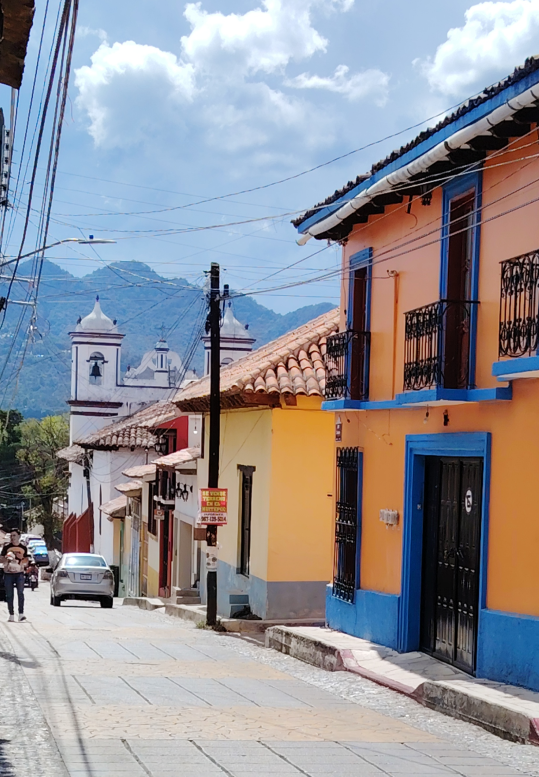
The Chiapas Master Route: How to Plan Your Trip
Chiapas is deceivingly massive. Mountain roads mean travel times add up fast.
Choose your pacing wisely:
3 Days (The Highlands & Canyon Express): Base yourself in San Cristóbal de las Casas for mountain air, then explore the nearby indigenous villages of San Juan Chamula and Zinacantán, and take a day trip to Sumidero Canyon and Chiapa de Corzo.
5 to 7 Days (The Core Loop): Base yourself in San Cristóbal de las Casas for the high mountain air, local culture, and indigenous villages, then take a bus north to Palenque for the jungle and ruins.
10 to 14 Days (The Full Traverse): Add the deep south (Comitán and Las Nubes), push through the northern jungle via Ocosingo and Toniná, or drop all the way down to the Pacific Coast (Boca del Cielo) for slow-travel decompression.
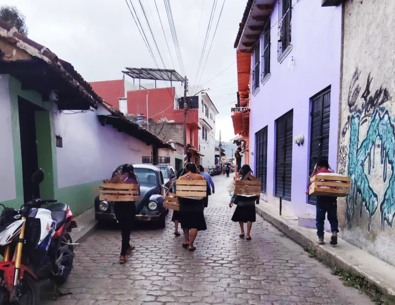
Is Chiapas Suitable for Independent Travel?
Yes if you're comfortable with slower transport, changing conditions, and doing some logistics yourself. You don't need to join an organized tour, but you do need to understand the geography.
Research local colectivo departure points, realistic day-trip travel times, and whether mobile data works reliably if you need to work remotely (San Cristóbal, Tuxtla and Comitán generally offer the most practical bases for remote work, but internet quality still varies significantly by property.).
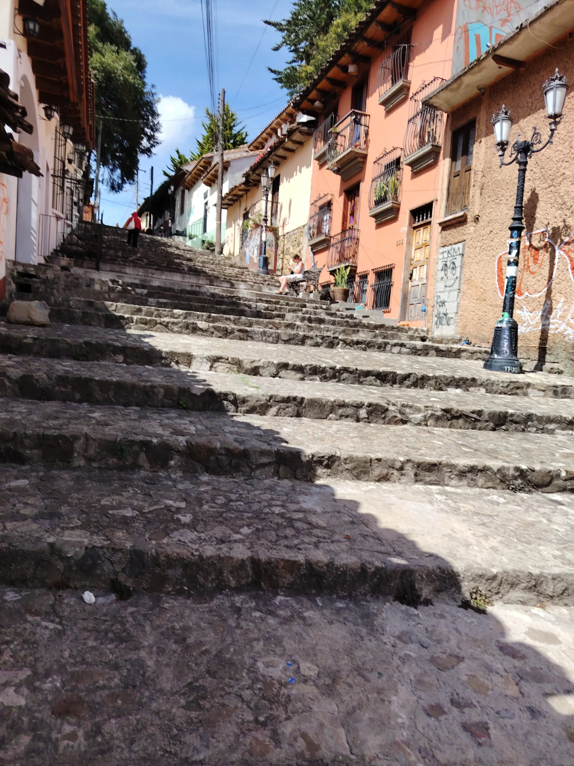
When Is the Best Time to Visit Chiapas?
There isn't one perfect month for the whole state. The best window depends on where you're going and what you want to do, as a weather forecast for Chiapas as a whole is useless when your itinerary crosses multiple climate zones:
November to February (Cooler & Drier): The most comfortable period for combining the highlands (pack warm layers for cold nights in San Cristóbal) with the warmer jungle of Palenque.
March to May (Hotter Lowlands): Temperatures spike significantly in Palenque, Ocosingo, and the northern waterfalls. Keep outdoor activities early in the day.
June to October (Rainy Season): Heavy mountain rains can make road travel slower and waterfalls muddy or restricted. However, the vegetation is intensely green, and crowds vanish. Build flexibility into your schedule.
How to Use This Guide
Don't try to follow it from top to bottom. Start with the region you want to explore, then use the waterfall, hiking, Maya-site, and beach guides to build your route around it. Chiapas rewards travelers who group destinations geographically rather than chasing attractions across the state.