Northern Chiapas & Jungle Route Independent Travel Guide
Palenque, Toniná & El Chichón
Northern Chiapas is where the landscape changes dramatically. Leaving the cooler highlands around San Cristóbal, Highway 199 descends through the mountains toward Ocosingo and eventually the tropical lowlands around Palenque. This corridor connects several very different experiences: the Maya site of Toniná near Ocosingo, the jungle ruins of Palenque, waterfalls along the road between the highlands and the lowlands, and the much more remote archaeological sites farther east.
Northwest of this main corridor, El Chichón offers a completely different trip into the volcanic mountains. The distances are manageable, but travel times are not always predictable. Mountain roads, colectivos, weather and occasional roadblocks can turn relatively short journeys into half-day transfers. For independent travel, the most practical approach is to move progressively north rather than repeatedly returning to San Cristóbal.
Ocosingo & Toniná: The Highland-to-Jungle Transition
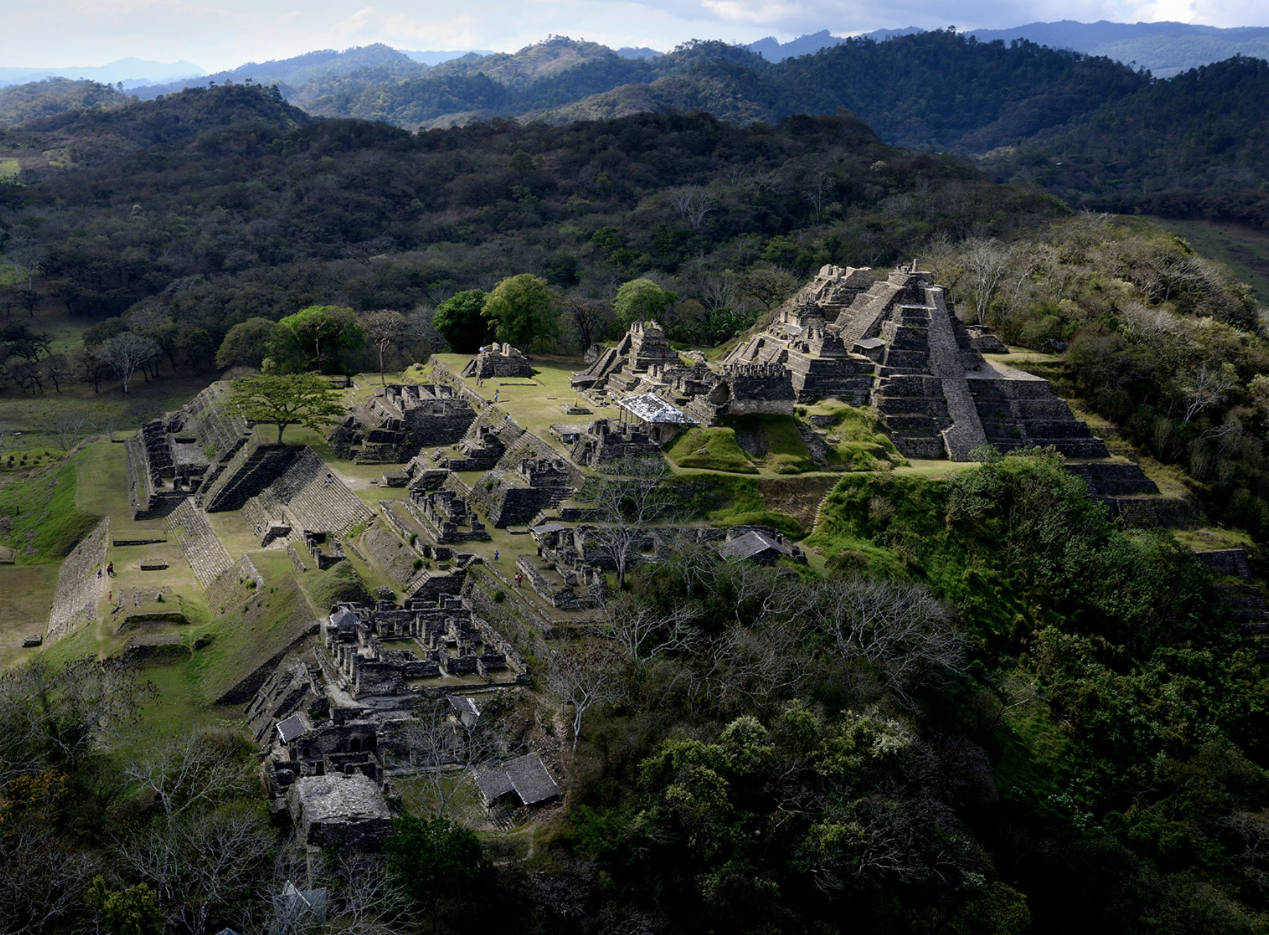
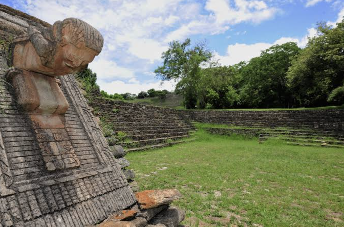
Ocosingo sits in a broad valley between San Cristóbal and Palenque. It is primarily a regional market and transport town, but its position makes it useful for breaking up the journey between the highlands and the jungle. The main reason to stop is Toniná, a major Maya archaeological site around 10 km east of Ocosingo. Toniná is built into a large hillside, with monumental terraces and an imposing acropolis rising above the valley. Its setting and architecture are quite different from Palenque, making the two sites complementary rather than interchangeable.
Getting to Ocosingo
From San Cristóbal de las Casas: the easiest option is a colectivo to Ocosingo. The colectivos leave from the area just beside the ADO/OCC bus terminal, so you don't need to go to a separate bus station. The journey takes roughly 2–3 hours, depending on road conditions and stops.
From Palenque: colectivos to Ocosingo run from the colectivo terminal near the corner of 5a Poniente Sur and Benito Juárez, close to the AEXA terminal. The journey takes roughly 3–4 hours. From Ocosingo, you can continue to San Cristóbal by another colectivo, making Ocosingo a practical stop if you're travelling the route in stages.
Ocosingo sits on the route between San Cristóbal and Palenque, making it particularly useful if you want to break up the journey or visit Toniná, which is only about 10 km from town.
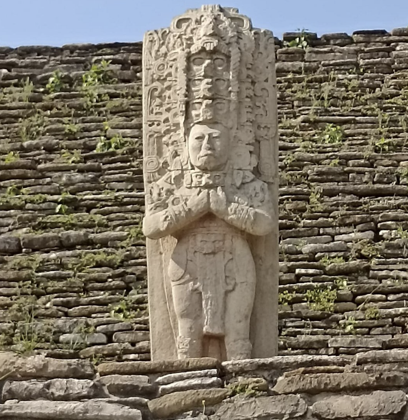
Visiting Toniná independently
From Ocosingo, local transport runs toward Toniná. Recent independent-travel reports describe colectivos leaving from the market area, with the journey taking roughly 15–20 minutes once transport is available. Return transport can be less predictable later in the day, so don't leave the site until late afternoon. The archaeological zone is currently open 08:00–17:00, with admission of 155 MXN for foreign visitors and 85 MXN for Mexican nationals.
Toniná underwent a period of closure and institutional changes in 2026 before reopening to visitors in March, so it is worth checking current access conditions locally before making a special trip.
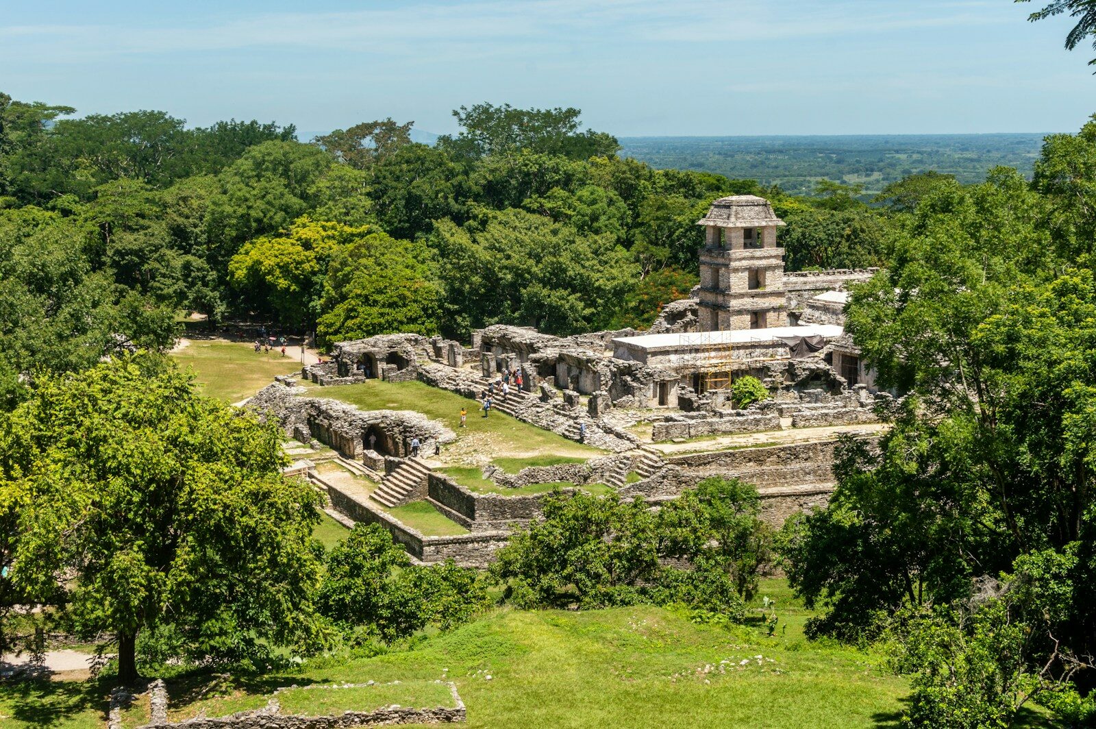
Palenque: Jungle, Ruins & the Main Northern Base
Continuing north from Ocosingo brings you into the hot, humid lowlands around Palenque.
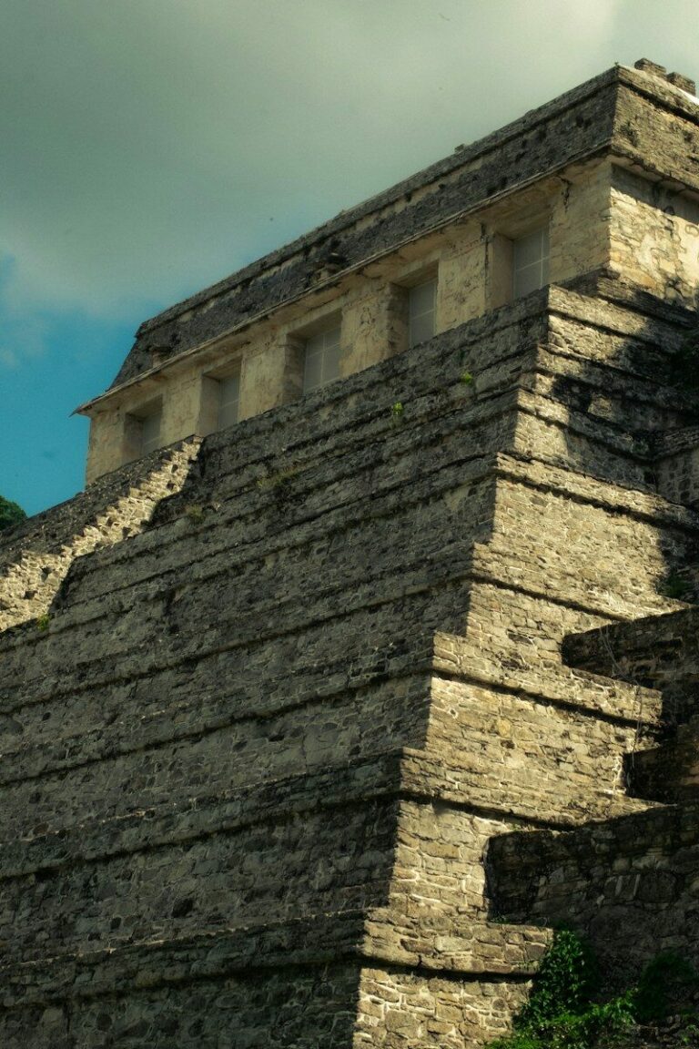
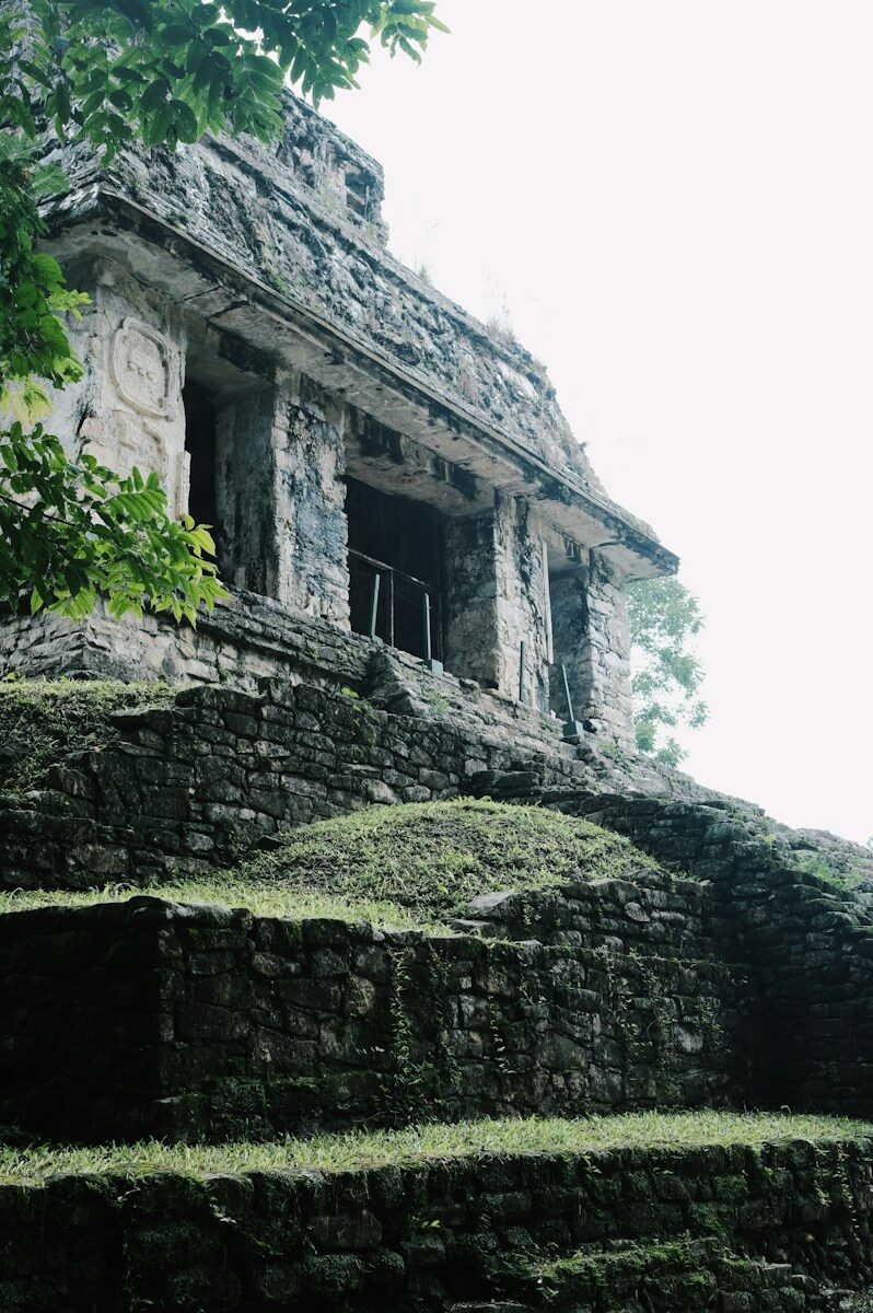
Known to the ancient Maya as Lakamha', Palenque was one of the major Maya cities of the Late Classic period. Today, the archaeological zone sits inside Parque Nacional Palenque, surrounded by dense tropical forest.
Palenque is both an archaeological destination and the main practical base for northern Chiapas. From here you can continue toward the eastern jungle, visit nearby waterfalls, or connect onward to other parts of Mexico.
Getting to Palenque
Palenque sits at the northern end of the main Chiapas jungle corridor, so how you reach it depends on where you are coming from.
From San Cristóbal: the overland route runs through Ocosingo on Highway 199. Taking colectivos via Ocosingo is useful if you want to stop at Toniná or break up the journey; direct long-distance buses may use a different, longer route.
From Ocosingo: regional colectivos and buses continue north to Palenque, making this the straightforward next leg after Toniná.
From the Yucatán or Quintana Roo: Palenque can also be reached by long-distance buses from destinations such as Mérida, Campeche, Playa del Carmen, Tulum and Chetumal, making it a practical entry point into Chiapas when traveling south from the peninsula.
From Villahermosa: this is another important connection, particularly if you are arriving by air or traveling through Tabasco. Once in Palenque, local colectivos connect the town with the archaeological zone and other nearby destinations.
Where to Stay in Palenque
Palenque is not just one place. There are three useful areas to understand before booking accommodation.
Palenque town
The town is the most practical base for independent travelers who need ATMs, supermarkets, restaurants, pharmacies, buses and easy onward transport. The ADO terminal and local colectivos are close to the central area, making the town particularly convenient if Palenque is part of a longer overland route.The downside is that the town itself is hot, busy and functional rather than atmospheric. The archaeological ruins are around 7–9 km away.
El Panchán
El Panchán is a small jungle settlement along the road toward the archaeological zone and is one of the traditional bases for independent travelers.It offers simple cabañas surrounded by vegetation and a much more immersive jungle atmosphere than the town. The trade-off is that accommodation can be rustic, electricity and Wi-Fi can be less reliable, and there is no ATM. This is a place to choose for the jungle experience, not for maximum convenience.
The Carretera Palenque–Ruinas
The road between town and the archaeological zone has another group of hotels, eco-lodges and jungle accommodation. This area gives you the forest setting without necessarily committing to the very basic accommodation found in El Panchán. The downside is that services are spread out, so you will depend more on colectivos or taxis for restaurants, shopping and transport. Recent travel reports consistently identify these three zones as having distinctly different advantages: town for logistics, El Panchán for jungle/backpacker atmosphere, and the Carretera for a quieter jungle stay with more conventional accommodation.
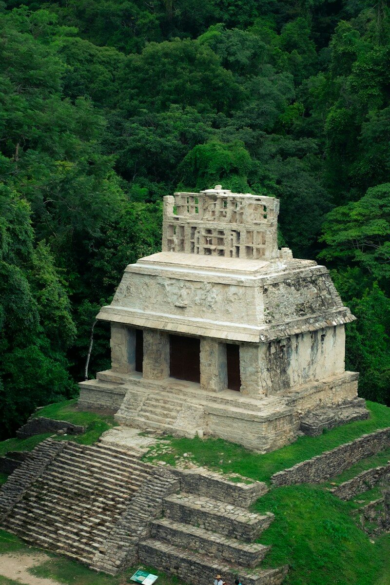
Visiting Palenque Archaeological Zone
The central monuments include the Temple of the Inscriptions, the Palace and the Cross Group, but the jungle environment is an important part of the visit. Trails connect the monumental areas through dense tropical vegetation, and howler monkeys can often be heard from the forest.
Entrance
- 08:00–17:00Last entry: 16:00
- INAH entrance: 210 MXN foreign visitors
- INAH entrance: 105 MXN Mexican nationals and foreign residents
- CONANP national-park fee: 215 MXN general / 110 MXN for nationals and foreign residents
- Site museum included in the archaeological admission.
That brings the standard combined admission to 425 MXN for foreign non-residents or 320 MXN for foreign residents.Mexican nationals have free admission on Sundays.
The museum is part of the archaeological visit and is worth allowing time for rather than treating it as an optional extra.
Go early
The combination of heat, humidity and walking makes an early start worthwhile. The site is much easier to explore before the strongest heat of the day, and arriving early also gives you more time to explore the wider complex rather than limiting yourself to the central monuments.
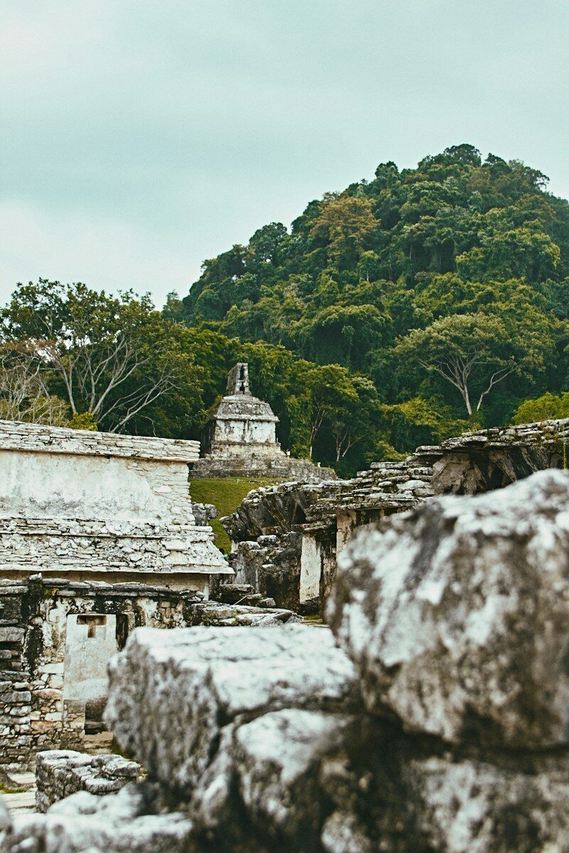
Getting Between Palenque Town & the Ruins
You do not need an organized tour to visit the archaeological zone.Shared colectivos marked “Ruinas” run between Palenque and the archaeological area. Recent reports put departures at roughly every 15–20 minutes during the main daytime period, with the ride taking around 15–20 minutes.
This makes staying in town perfectly viable if you want to visit the ruins independently.
The road also passes El Panchán and the various hotels between town and the archaeological zone, so the same corridor serves most accommodation areas.
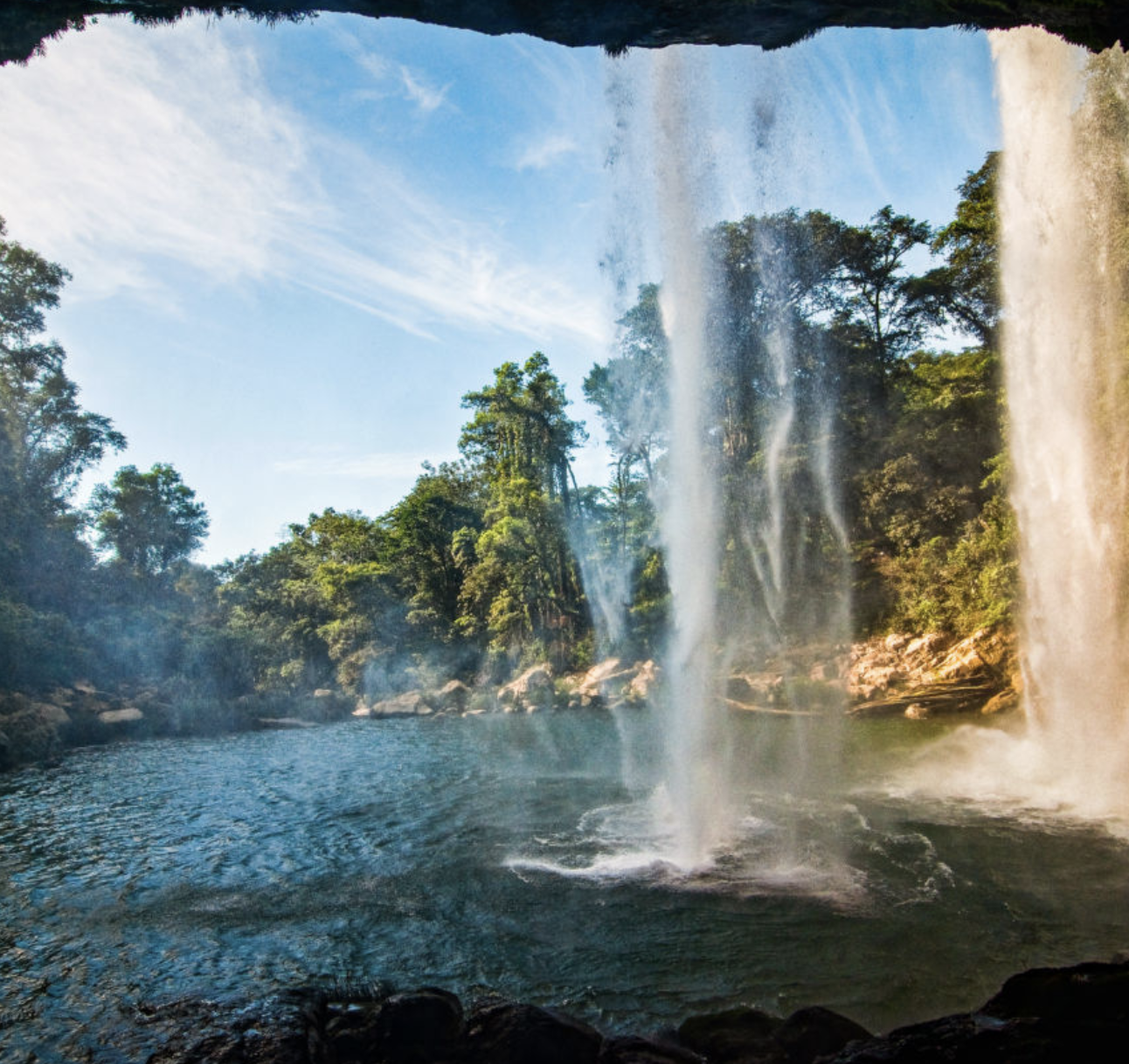
Waterfalls Around Palenque
The Palenque area gives you several options for adding waterfalls and swimming to the route. The important difference is that Agua Azul and Misol-Há sit on the Highway 199 corridor toward Ocosingo, while Roberto Barrios is a separate excursion from Palenque.
That makes Agua Azul and Misol-Há particularly useful when you are moving between the highlands and Palenque, rather than automatically treating them as day trips from your base.
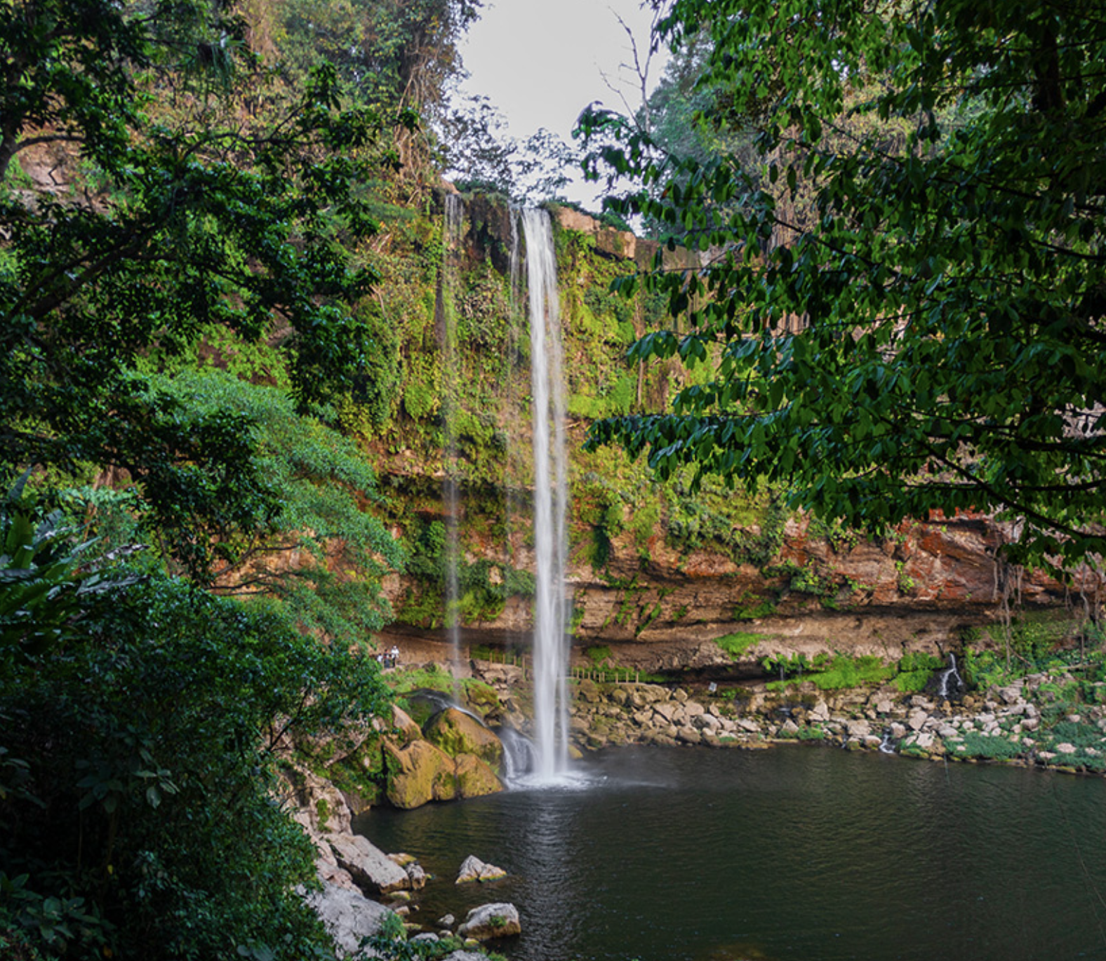
Misol-Há
Misol-Há is around 20–22 km south of Palenque. A single waterfall of roughly 35 metres drops into a large pool surrounded by jungle, with a path leading behind the falls to a small cave.
Getting there
Colectivos and shared vans traveling toward Ocosingo or San Cristóbal pass the Misol-Há turnoff. Tell the driver where you are going; you will need to walk or arrange local transport for the final section.Recent reports put the Palenque–waterfall transport at roughly 35 MXN per leg, although fares change.
Entrance & swimming
Recent prices are around 40 MXN, sometimes with a small additional charge for the path behind the waterfall. Bring cash and small notes.Swimming is possible when conditions are safe, but heavy rain can increase the flow considerably. Check locally before entering the water.
Agua Azul
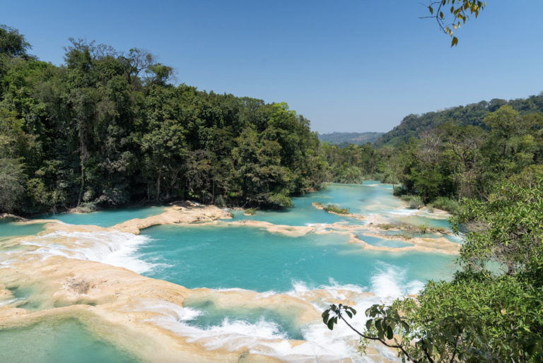
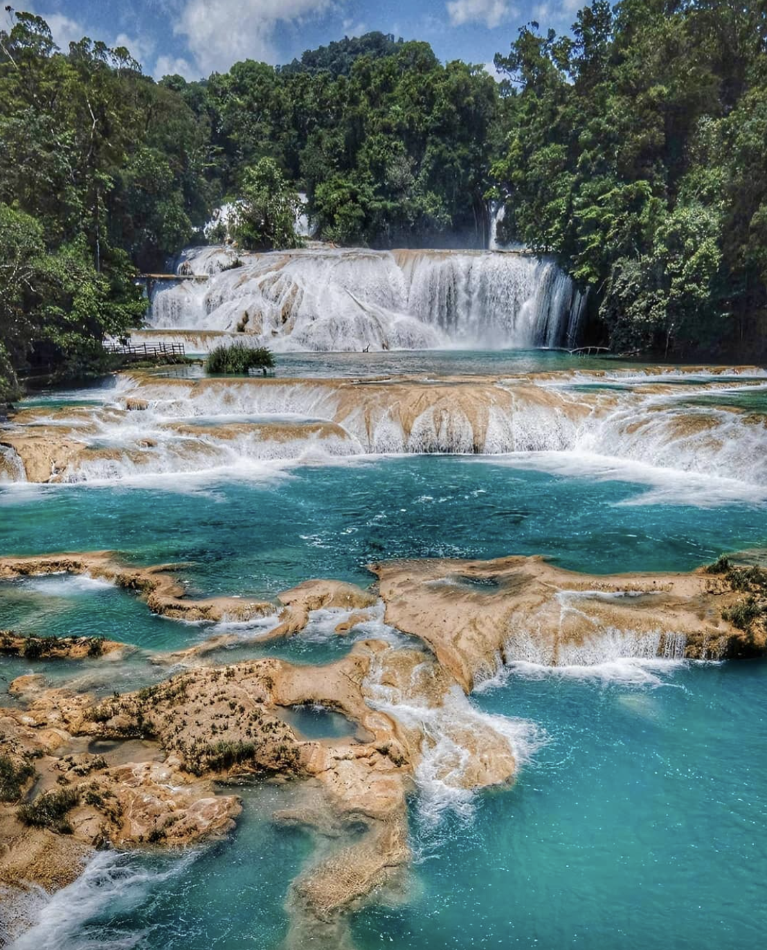
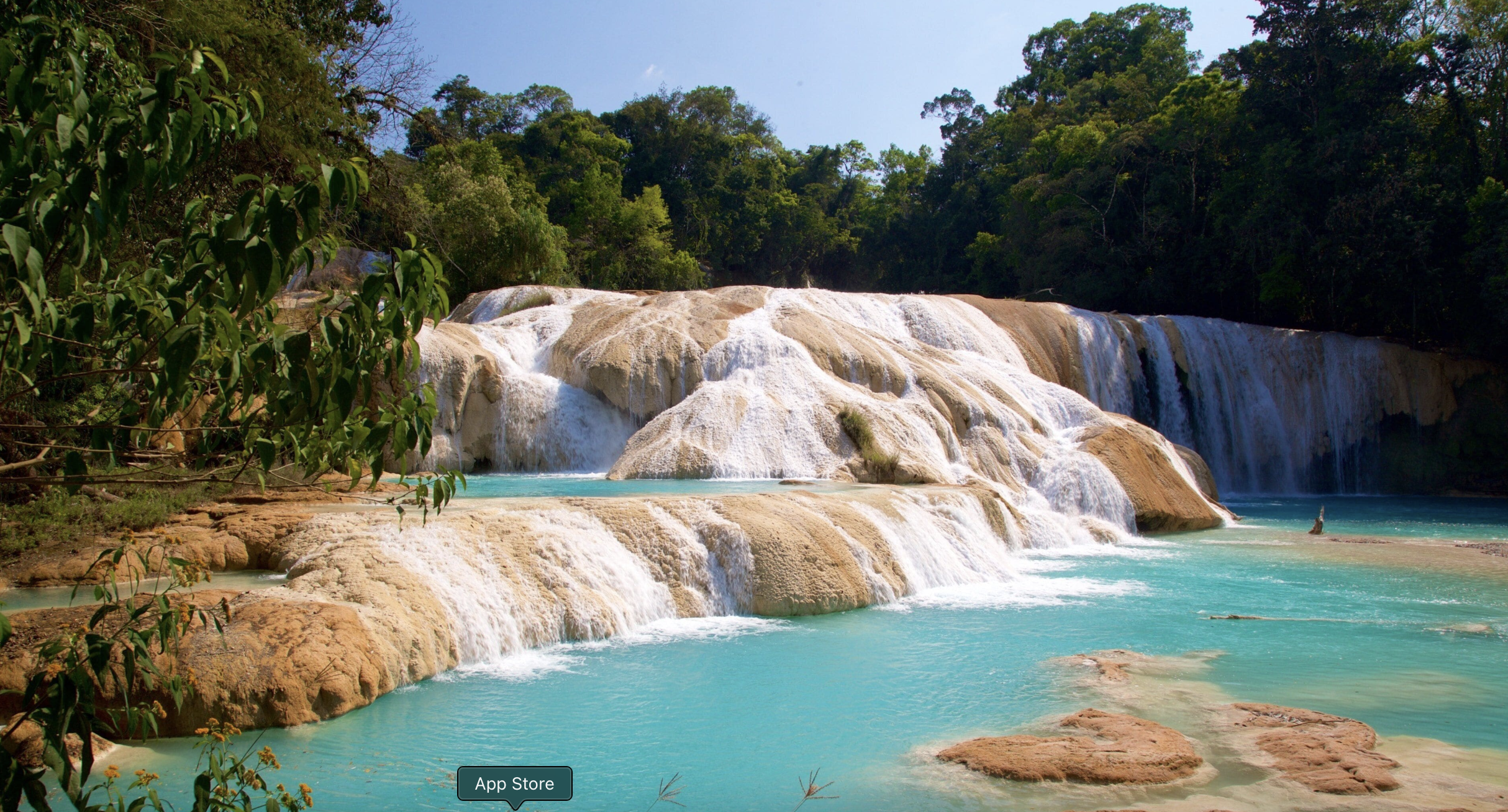
Agua Azul is approximately 64–65 km south of Palenque, along Highway 199.Rather than a single fall, it is a long series of limestone cascades and pools. Its famous blue-green color is generally more reliable during drier conditions; heavy rain can add sediment and turn the water brown.
Getting there independently
Take a southbound colectivo or regional van toward Ocosingo or San Cristóbal and ask for the Crucero de Agua Azul. From the junction, local taxis or camionetas cover the final roughly 4 km to the waterfalls.Be aware that there can be several separate cash payments: community/ejido charges along the approach and the entrance at the waterfall itself. Entrance fee is 40 MXN for direct entrance, while recent reports put the combined payments encountered by travelers at roughly 60–80 MXN, depending on current local charges. Allow at least 1.5–2 hours to explore several sections. Arriving before the main tour groups is worthwhile.Swimming is possible in designated calmer pools, but currents and slippery rocks make it important to stay within safe areas.
Using the waterfalls as route stops
Agua Azul and Misol-Há make particular sense when traveling between Ocosingo and Palenque. You can visit them as a long outing from Palenque, but this involves several rural transport connections. If you are already traveling south toward Ocosingo or San Cristóbal, incorporating them into the journey avoids unnecessary backtracking.
Roberto Barrios
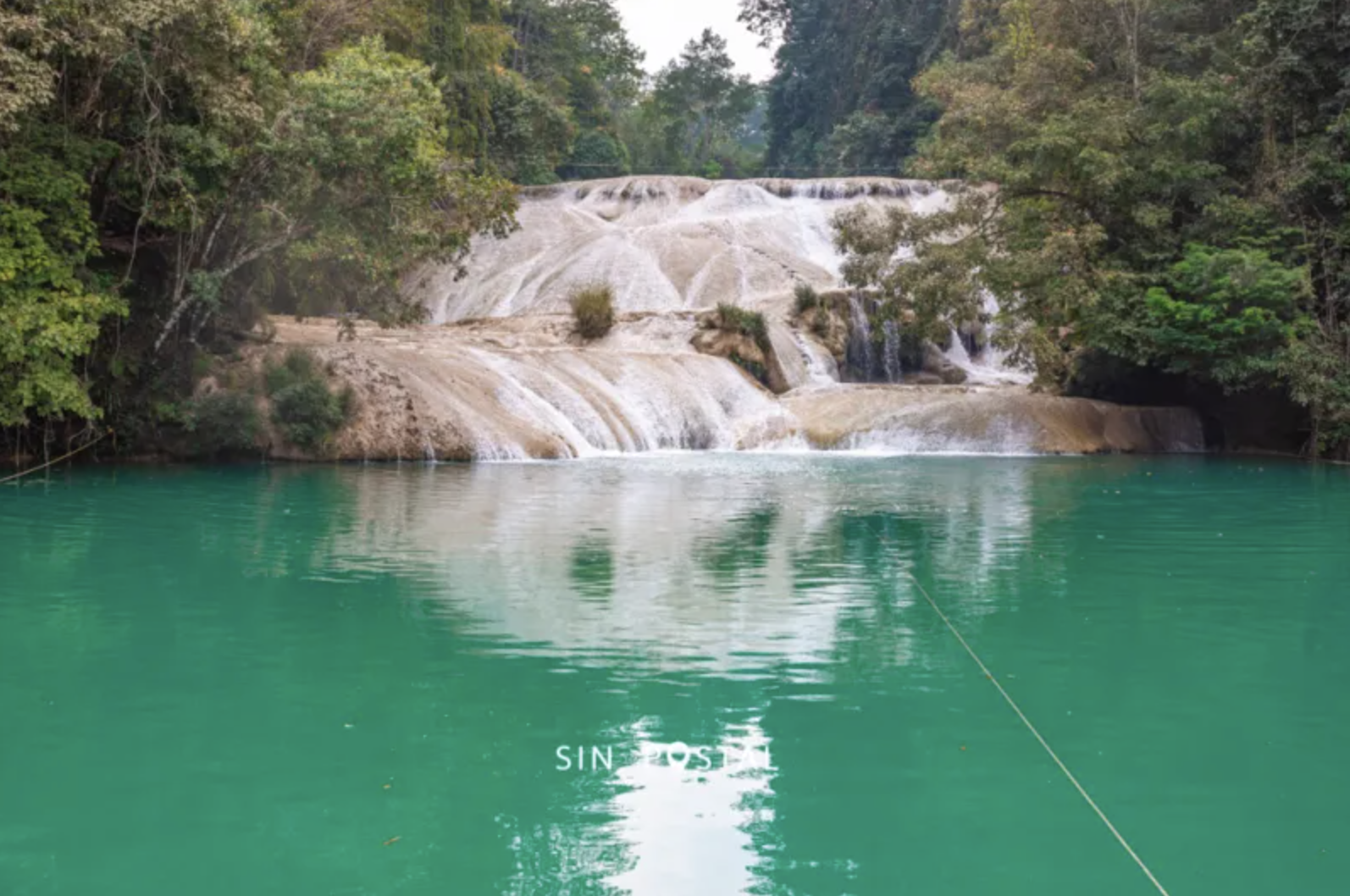
Roberto Barrios is a series of limestone cascades and natural pools surrounded by jungle, and is particularly popular for swimming. Unlike Agua Azul and Misol-Há, it is not directly on the main Highway 199 corridor and is normally visited from Palenque.
Local colectivos and shared transport take around 45–60 minutes each way, depending on conditions. The community-run site has historically charged around 40 MXN, although local fees can change.Return transport is less predictable than transport within Palenque, so go early enough not to depend on the last vehicle of the day.
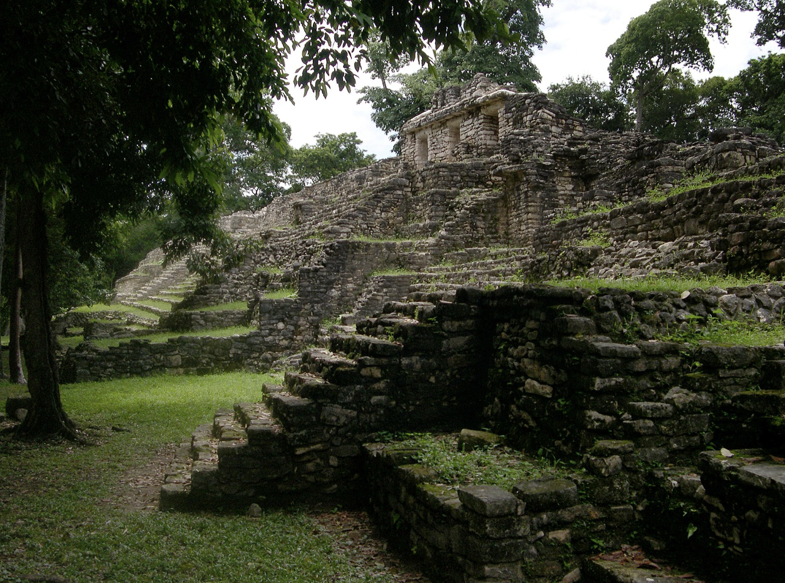
Deeper Into the Jungle: Bonampak & Yaxchilán
Beyond Palenque, the route becomes progressively more remote.
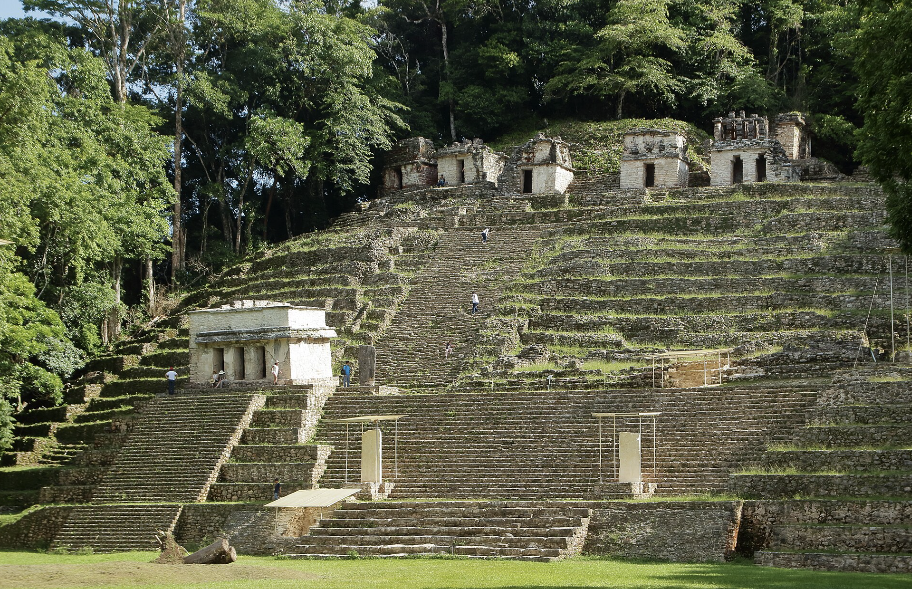
Bonampak and Yaxchilán are the major archaeological destinations farther east toward the Guatemala border. Bonampak is particularly known for its exceptionally important painted murals. Yaxchilán is even more remote: there is no road directly to the site, and the final approach is by motorboat from Frontera Corozal, along the Usumacinta River.
These are not simple Palenque day trips. Allow additional time and treat them as a dedicated eastern-jungle extension.
El Chichón: The Volcanic Detour
El Chichón, also called El Chichonal, is part of northern Chiapas but not part of the main Palenque route.
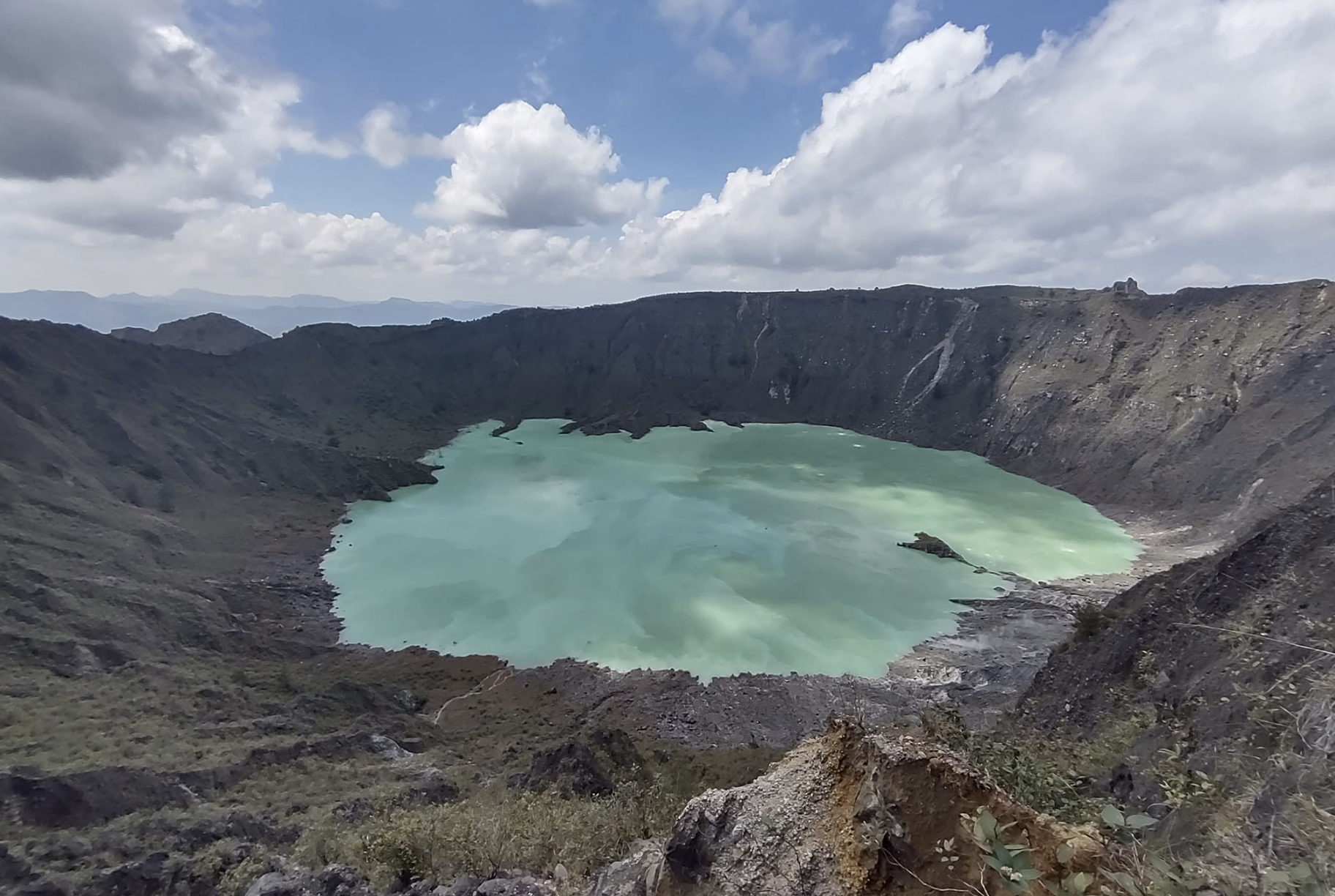
The volcano lies around Francisco León and Chapultenango, in a remote mountainous area. Its major eruption in 1982 dramatically transformed the crater and surrounding landscape.Today, the crater contains an acidic green lake, surrounded by volcanic terrain and hydrothermal features. The crater is roughly 1 km across and 300 m deep.Reaching it involves rural access followed by a hike. Local guide arrangements can be made around communities such as Francisco León and Chapultenango.
There is no standard archaeological-style entrance fee, although local access or guide fees may apply. Because this is an active volcano in a remote area, check current access and volcanic conditions before setting out.For this reason, El Chichón makes sense as a dedicated hiking detour, not something to squeeze between Ocosingo and Palenque.
Practical Tips
Carry cash: Ocosingo and Palenque have ATMs, but rural areas are much less predictable.Carry enough Mexican pesos, preferably in smaller notes, for colectivos, entrance fees, community payments, guides, boat transport and food.
Heat & humidity: The lowlands around Palenque are much hotter and more humid than San Cristóbal.Light clothing, plenty of water, sun protection and insect repellent are useful. Carry a lightweight rain jacket during the wetter months.
Roads & roadblocks: Highway 199 is paved but slow, particularly through the mountains between San Cristóbal and Ocosingo. Rain, traffic, roadworks and temporary roadblocks can significantly change travel times. Avoid tight connections when combining several colectivos.