
Chiapas Pacific Coast & Soconusco Independent Travel Guide
Beaches, Mangroves, Coffee Country & Volcán Tacaná
While most travelers in Chiapas concentrate on San Cristóbal, Comitán and the jungle around Palenque, the Pacific Coast and Soconusco offer a completely different side of the state. The region stretches from the long Pacific beaches around Tonalá to the mangrove wetlands of La Encrucijada and the tropical lowlands around Tapachula. From there, the landscape rises into the coffee-growing Sierra Madre and Volcán Tacaná, creating a route that connects beaches, lagoons, archaeological sites, coffee country and high-altitude mountain terrain.
This is not a conventional resort coast. Tourism is generally more local, many beaches remain relatively undeveloped, and public transport is designed primarily around local communities. Independent travel is possible, but you need to be more flexible with connections than in the main tourist areas of Chiapas.
Why Explore the Pacific Coast & Soconusco Independently?
The Pacific coast is particularly interesting if you want to see a less resort-oriented side of Chiapas. Local colectivos connect the main towns, while pangas and lanchas are part of the transport network around lagoon and mangrove areas.
Smaller coastal communities can be reached without a car, but services are less predictable, so checking the return journey before leaving is important.
The region also works well as a longer route rather than a single destination: you can start with the Pacific beaches, continue through mangrove wetlands and Tapachula, then climb into the coffee-growing highlands toward Tacaná.
Puerto Arista
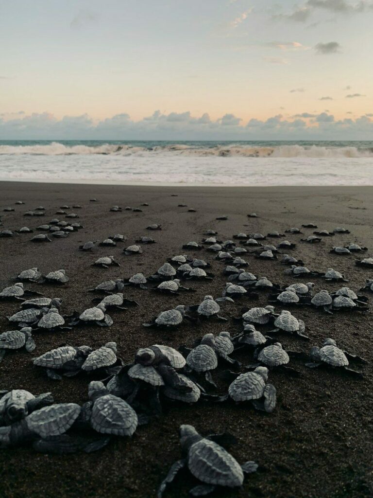
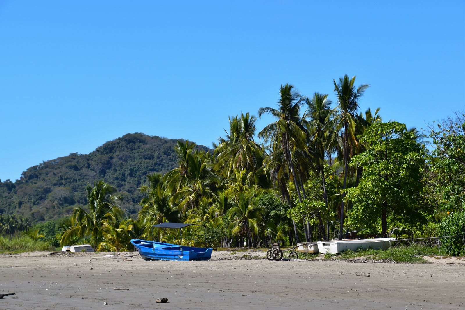
Puerto Arista is the most established beach destination in this part of Chiapas. The long Pacific beach is backed by hotels, cabins, restaurants and local beach businesses. It is more developed than other coastal areas around Tonalá, but still feels very different from a large international resort destination.The Pacific here is exposed, with stronger surf than the Caribbean coast. Puerto Arista and other beaches along the Chiapas Pacific coast have seasonal sea-turtle nesting and conservation activities, particularly during the rainy season.
Getting there: Local colectivos connect Tonalá with Puerto Arista. Confirm the current departure point and return options locally. Puerto Arista is the simplest choice if you want a straightforward beach stay without complicated logistics.
Boca del Cielo
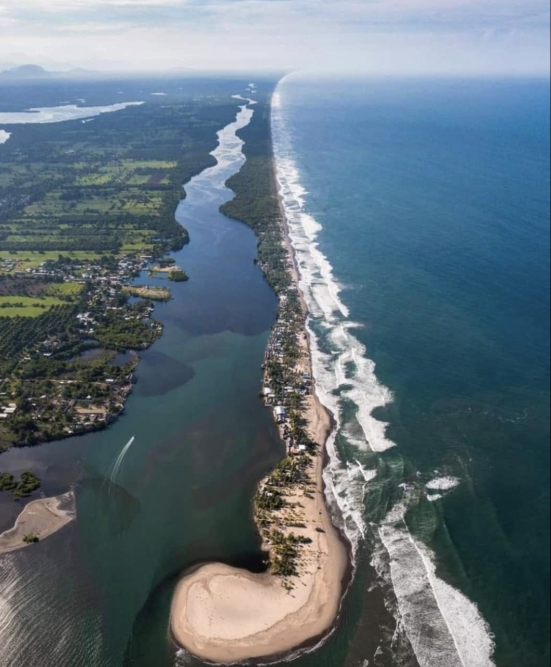
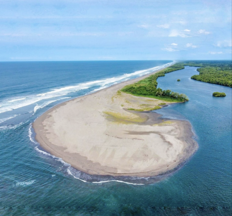
A narrow coastal barrier separates the Pacific Ocean from a large lagoon, creating a combination of open beach, calm water, mangroves and fishing communities. Accommodation is generally small-scale, with cabins, palapas and locally operated stays rather than large hotels.
Getting there: From Tonalá, local transport reaches the Boca del Cielo area. Depending on your accommodation, you may then need to cross the lagoon by panga or lancha. If you are staying overnight, ask your accommodation exactly where the boat leaves from and how late crossings operate.
Carry cash: Services become limited once you leave Tonalá, and small accommodation providers, boats and local businesses may not accept cards. Boca del Cielo is better suited to a slow overnight stay than a rushed day trip.
Pijijiapan & the Quieter Coast
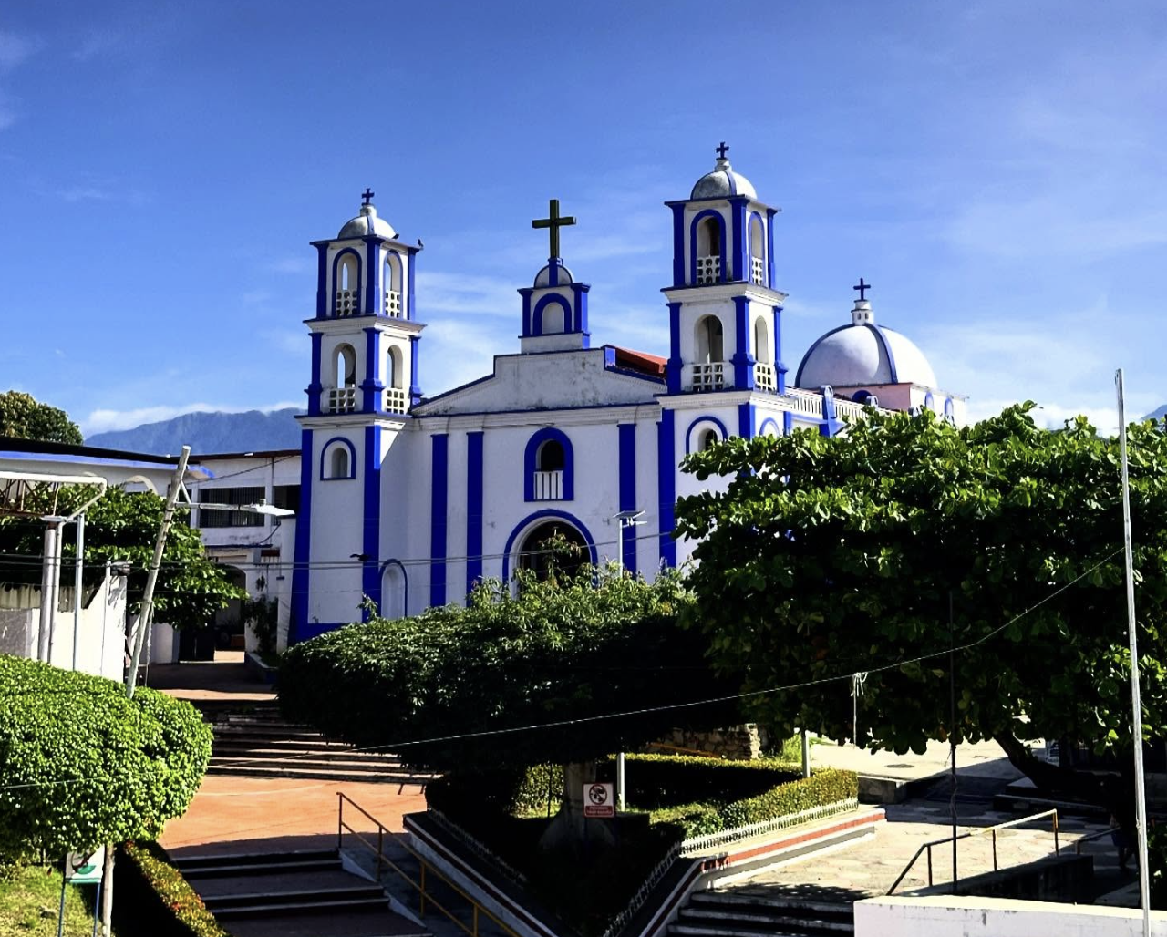
Further south, the coast becomes more rural and less developed. Pijijiapan is mainly useful as an inland transport point for reaching smaller coastal communities and beaches farther south. This section of the coast is worth considering if you are looking for long beaches, fishing communities and fewer established tourist services rather than a conventional beach town. Public transport is possible, but connections become less predictable as you move away from the main towns.
Getting there: Reach Pijijiapan first, then check locally for the current colectivo, taxi or community transport to the coastal area you want to visit. Before leaving, always establish how you are getting back. A route that is easy to find in the morning may have very limited return transport later in the day.
La Encrucijada: Mangroves & Coastal Wetlands
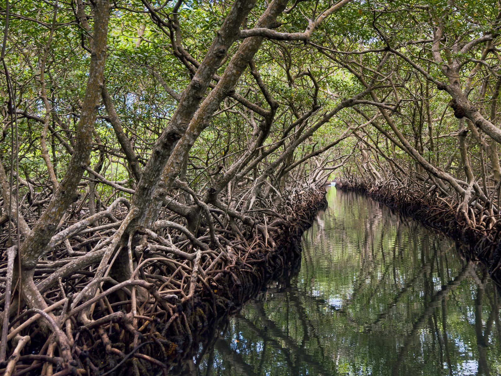
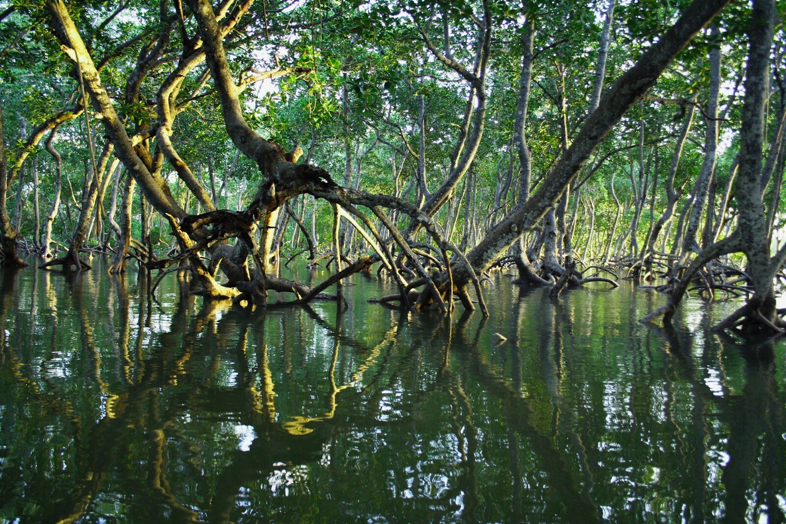
South of the main beach areas, the landscape changes dramatically. The La Encrucijada Biosphere Reserve protects an extensive system of mangroves, lagoons, estuaries and coastal wetlands. This is less about spending the day on a beach and more about exploring the waterways and surrounding ecosystem by boat.
Entrance fee is 125 MXN per person per day. Community boat trips and other locally operated activities are separate.Access varies between communities. Some can be reached by public transport, while others depend on motorcycles, private vehicles or water transport.
Getting there: There is no single “La Encrucijada” entrance that works for every experience. Decide which community or boat operation you want to visit first, then confirm the local transport. This is one of the places where arranging the boat locally before setting out can make independent travel considerably easier.
Tapachula & Izapa
At the southern end of the region, Tapachula is the main transport and services hub of the Soconusco. It is not primarily a beach destination, but it is useful for accommodation, supermarkets, ATMs, long-distance transport and access to the surrounding coast and mountains. From Tapachula you can combine several very different excursions.
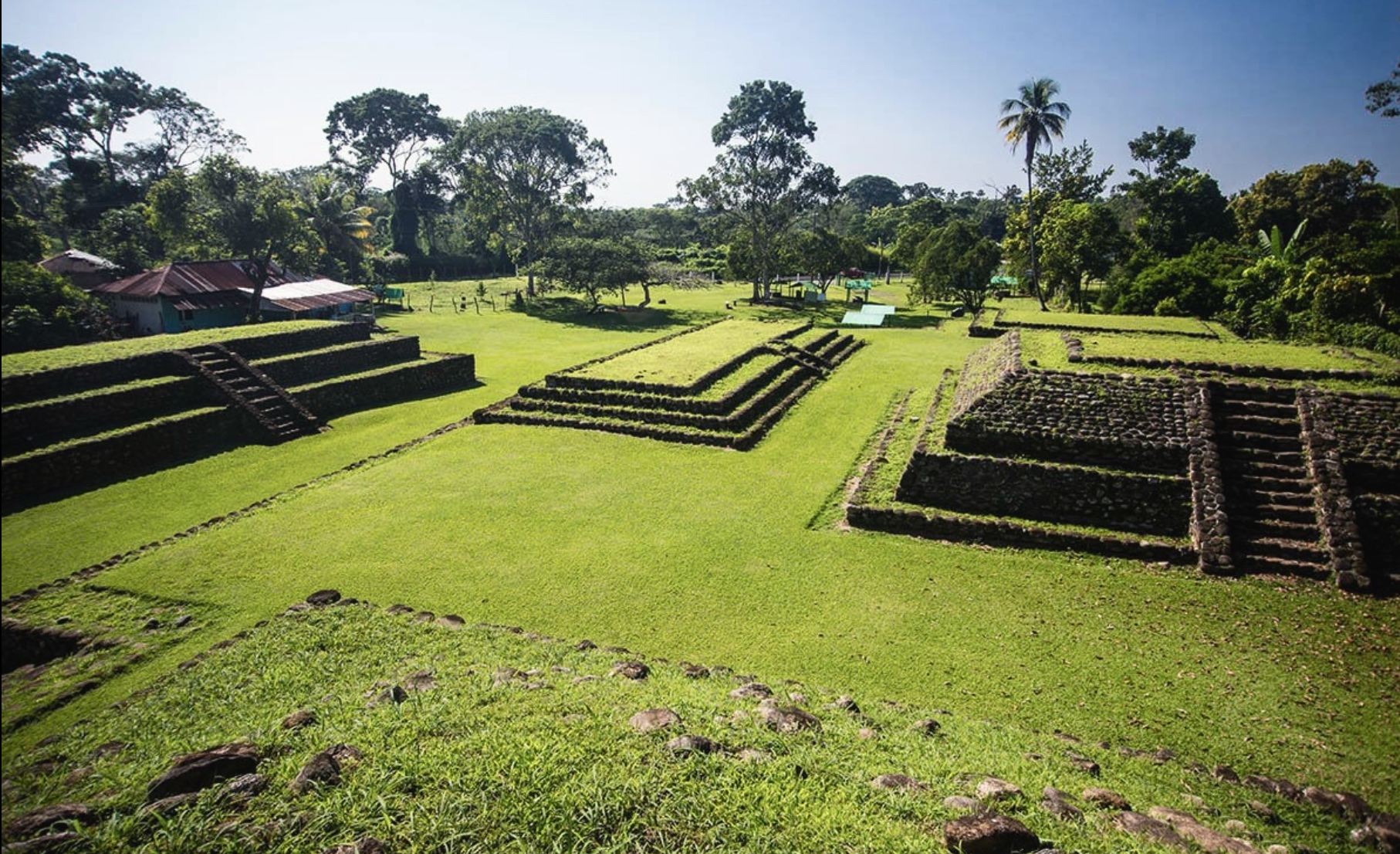
Izapa is located around 9 km beyond Tapachula toward Talismán, Izapa is the major archaeological site of the Soconusco.
Entrance
Wednesday to Sunday, 08:00–17:00, with admission of 145 MXN for foreign visitors and 80 MXN for Mexican nationals.
Local colectivos toward Tuxtla Chico can get you into the general area, but confirm exactly where to get off before boarding. The archaeological zone is exposed with limited shade, so an early visit makes sense in the hot Soconusco climate.
The Soconusco Highlands: Coffee Country
The landscape changes quickly as you leave Tapachula and climb into the Sierra Madre.
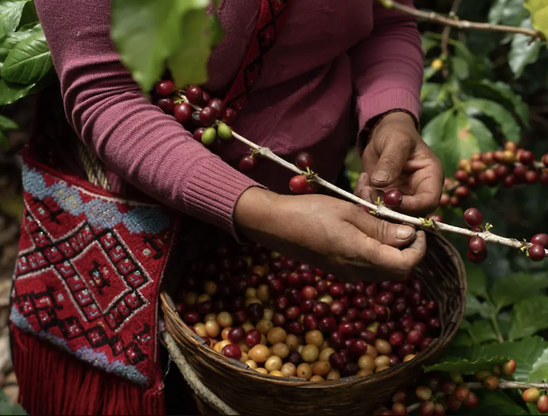
The lower slopes around Cacahoatán are associated with coffee production, while higher up, Unión Juárez provides a cooler mountain environment and access toward Tacaná. Several coffee fincas in the area offer visits, tastings and tours.
Getting there: Local colectivos connect Tapachula with Cacahoatán and Unión Juárez. Individual fincas are often away from the main public transport routes, so arrange the final taxi or local connection in advance.
You do not need to visit a finca to appreciate this part of the region. Simply going uphill from the tropical lowlands into the coffee country gives you a very different landscape from the coast.
Volcán Tacaná
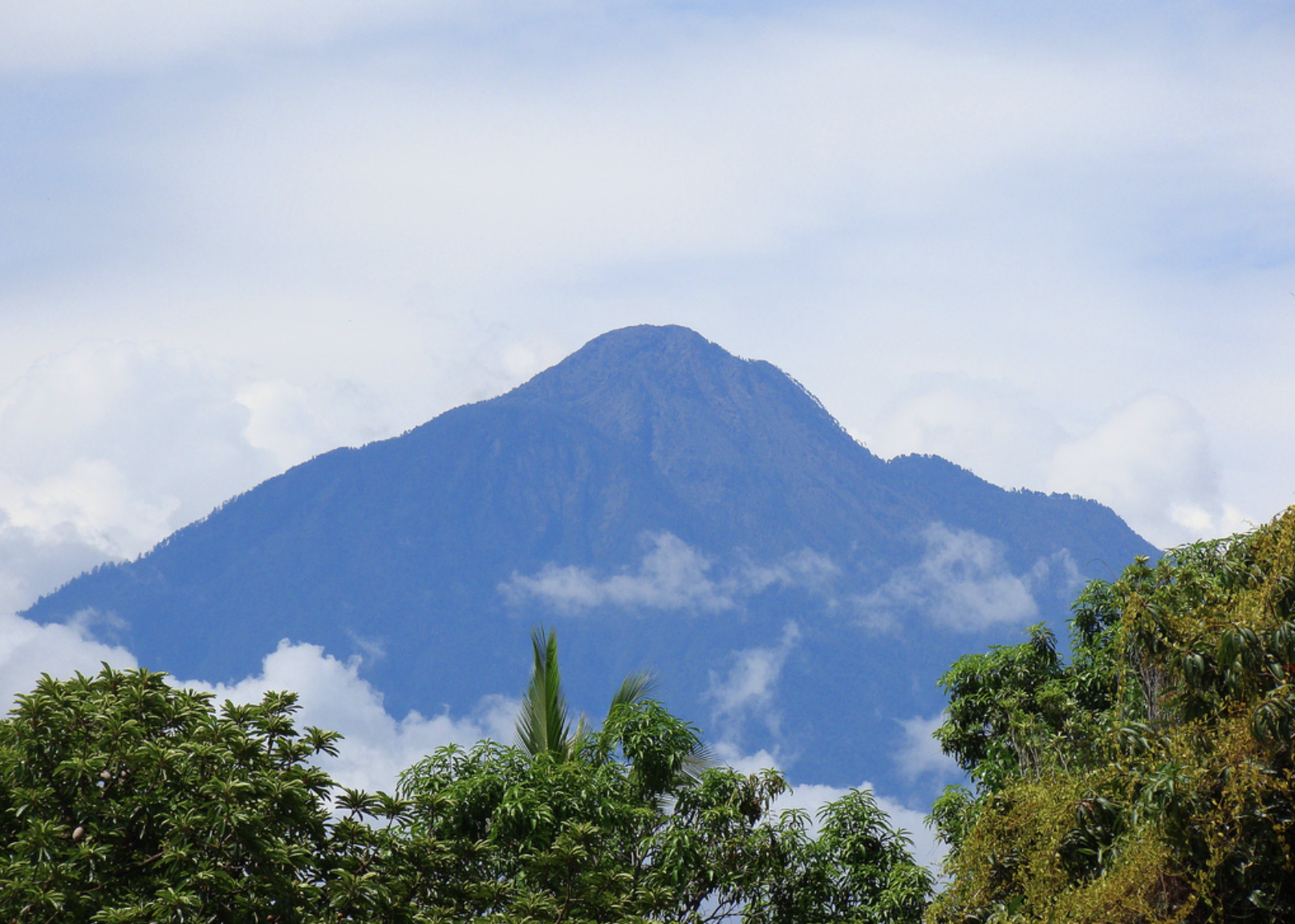
At 4,060 metres, Volcán Tacaná is the highest point in Chiapas and one of the defining landscapes of the Soconusco.
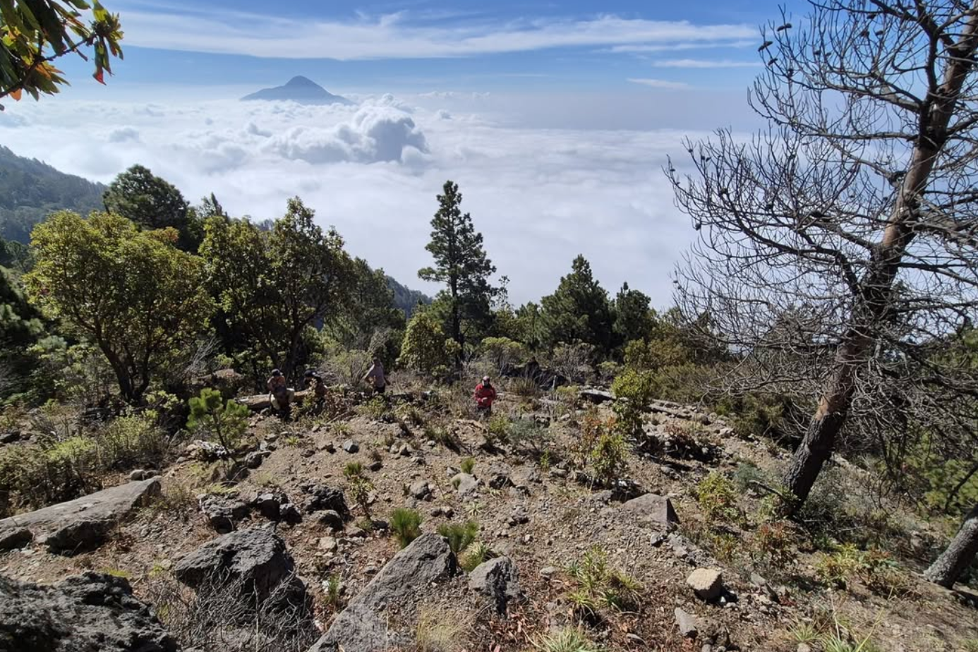
The volcano sits on the Mexico–Guatemala border, rising from the Pacific lowlands through coffee plantations and forest into high-altitude terrain. The Mexican approach is associated with Unión Juárez, making the town a useful base before heading higher into the mountains. Tacaná is a serious mountain outing rather than a casual excursion. Weather, altitude, trail conditions and transport to the starting point all need to be considered.
Even if you are not climbing it, the volcano is worth including in a regional itinerary because it shows just how dramatically the landscape changes within southern Chiapas.
The ascent is free of charge apart from the current protected-area entrance fee, and a guide is not explicitly listed as mandatory by CONANP. However, the reserve recommends ascending with an accredited guide or someone familiar with the trail. Registration with CONANP is required, and access can be temporarily restricted depending on weather conditions.
Practical Tips
Carry cash: Rural transport, boat crossings, community-run tourism and smaller restaurants generally require Mexican pesos. Carry smaller notes.Expect heat: The Pacific lowlands and Soconusco are considerably hotter and more humid than San Cristóbal or Comitán.
Bring mosquito protection: Lagoons, mangroves and humid coastal areas can have significant mosquito activity, especially around sunset.
Check ocean conditions: Pacific beaches are exposed and can have strong surf. Calm lagoon water does not necessarily mean the nearby ocean is suitable for swimming.
Don't over-plan remote connections: Transport to smaller coastal communities can change. Leave some flexibility rather than building an itinerary around an exact departure time.
Expect a very different climate: The route from the Pacific coast to Tacaná crosses several climate zones. Pack accordingly if you are combining beach and mountain travel.
Getting Around the Pacific Coast & Soconusco
The region is possible without a car, but the transport experience changes considerably between the main towns and smaller communities.
Tonalá is the most useful base for Puerto Arista, Boca del Cielo and the central coast.
Pijijiapan is mainly useful for reaching quieter coastal areas farther south.
Tapachula is the main base for Izapa, Puerto Madero, the coffee country and Tacaná.
Colectivos: These are the main form of local transport between towns. They are practical but may not operate according to a tourist-friendly timetable.
Pangas & lanchas: These become part of the journey around Boca del Cielo and the mangrove and lagoon areas.
Taxis: Useful for the final connection to beaches, fincas, trailheads or communities outside the main colectivo routes.